
Laser Scanning for Contractors
Accurate Existing Conditions to Reduce Risk and Rework
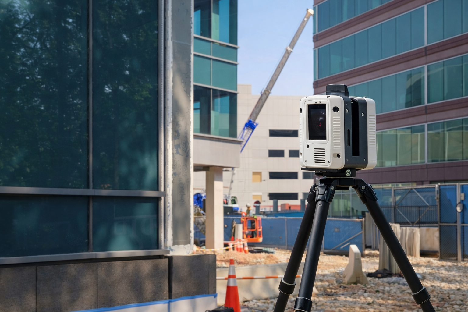
Start construction with reliable building data. Sentinel Scanning captures precise existing conditions to improve coordination, reduce field conflicts, and keep projects on schedule.
Typical response within 1 business dayMillimeter-level accuracy
Revit models
up to LOD 500
Trusted by professionals
Nationwide coverage

INDUSTRY APPLICATION
Built for Construction Projects Where Accuracy Impacts Cost and Schedule
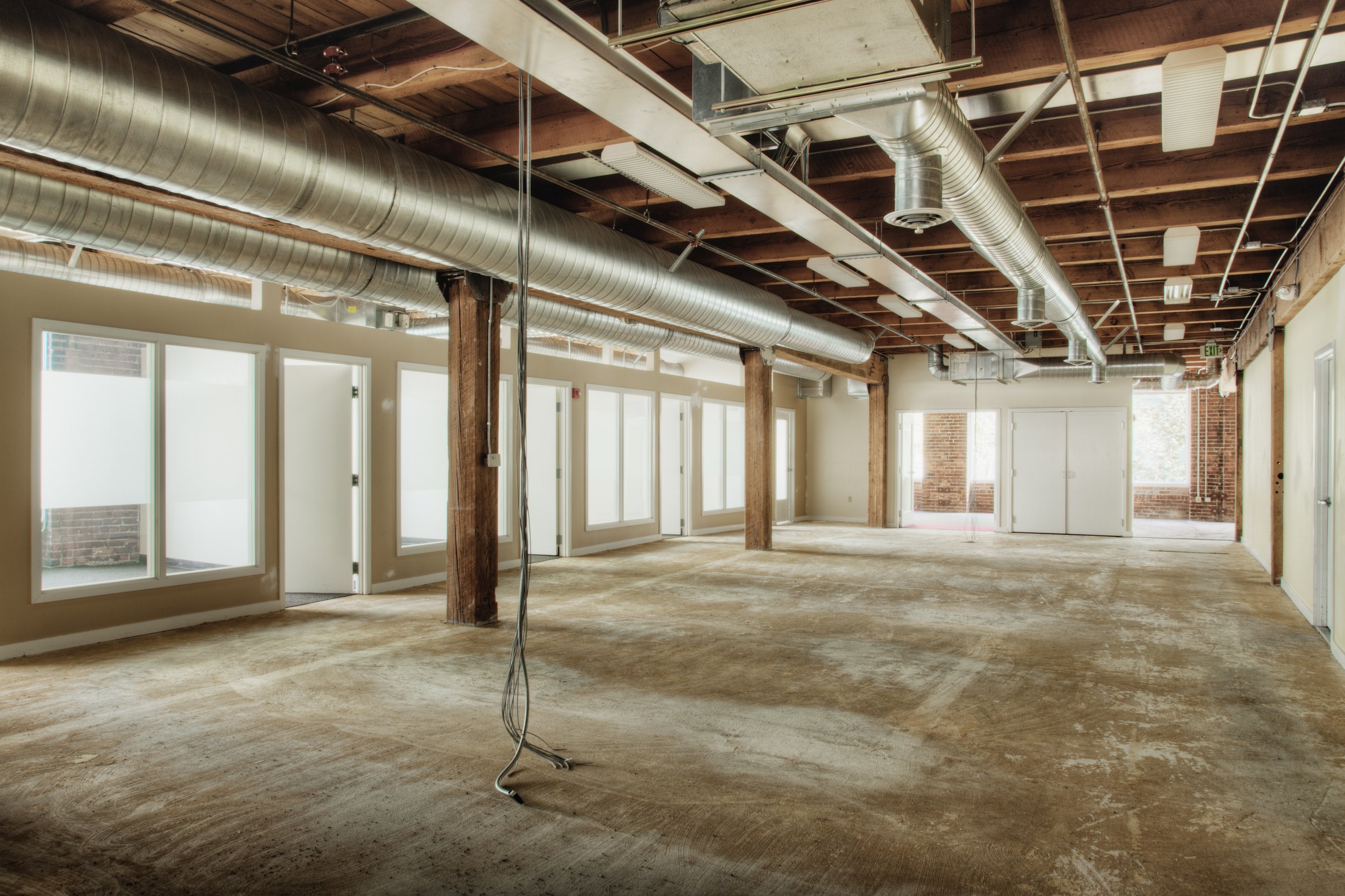
Contractors frequently work in existing buildings where documentation is incomplete or outdated. Renovations, tenant improvements, and additions require accurate existing conditions to coordinate trades and avoid costly surprises.
Without reliable data, teams are forced to rely on assumptions or manual measurements, increasing the risk of conflicts during construction.
✓ Renovations and tenant improvements
✓ Incomplete or outdated construction drawings
✓ Trade coordination and clash avoidance
✓ Pre-construction planning and verification
✓ Existing building modifications and additions

COMMON CHALLENGES
When Existing Conditions Are Unclear, Construction Risk Increases
Contractors working from outdated drawings or incomplete documentation often encounter unexpected conditions during demolition and installation.
✓ Field conditions don’t match construction documents
✓ Conflicts between trades discovered during installation
✓ Manual measurements miss critical building geometry
✓ Rework, delays, and increased labor costs
These issues slow projects, increase costs, and create avoidable risk during construction.
HOW SENTINEL SCANNING HELPS
Accurate Data That Improves Coordination and Reduces Rework
Sentinel Scanning captures precise building data that allows contractors to plan, coordinate, and execute projects with greater confidence.
-
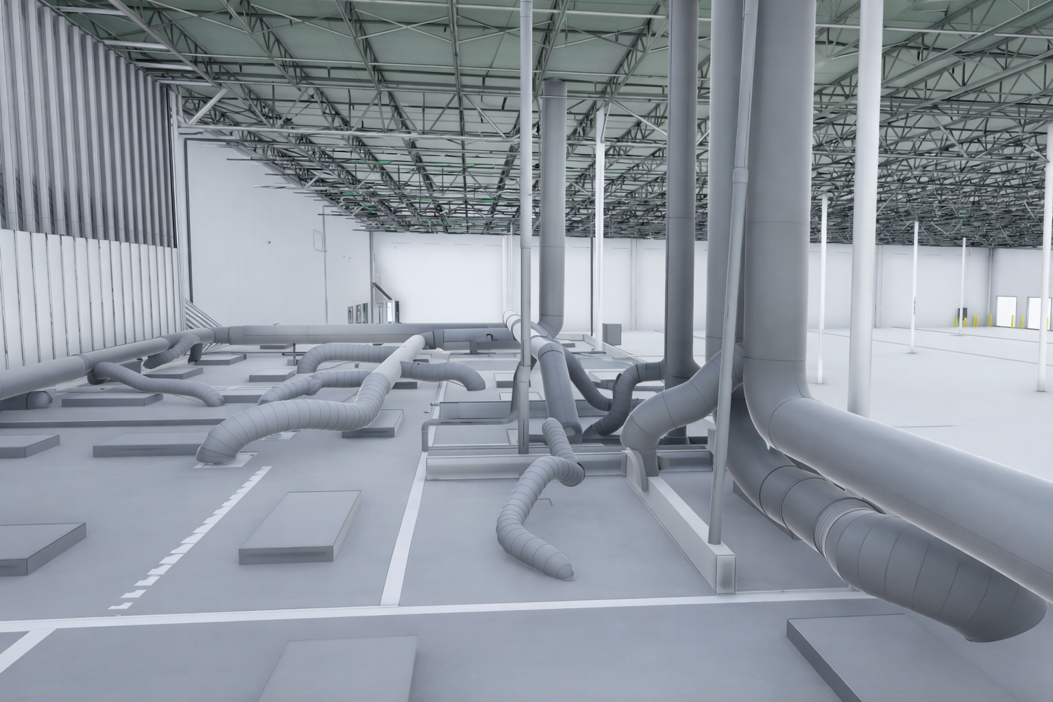
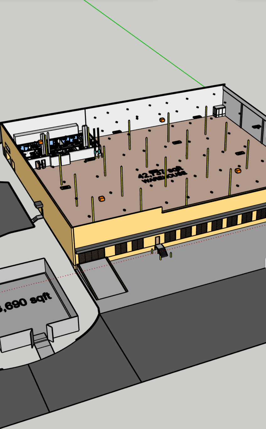
Sentinel Scanning records millions of measurement points across the structure, creating an accurate digital representation of existing conditions before construction begins.
-
Contractors and project teams can verify dimensions, analyze building conditions, and plan construction activities using a reliable dataset.
-
Point cloud data can be converted into Revit models, allowing teams to coordinate structural, architectural, and mechanical systems within BIM environments.
-
By working from a shared, accurate dataset, contractors can align trade work, reduce clashes, and improve project coordination.
-
Accurate documentation allows teams to identify conflicts early, minimizing delays, redesigns, and costly field adjustments.
DELIVERABLES
Deliverables That Support Construction Planning and Coordination
Sentinel Scanning provides documentation that integrates directly into construction workflows and BIM coordination processes.
All deliverables are tailored to your project scope and level of detail requirements.
Revit Models
(LOD 200–500)
BIM-ready models for coordination, clash detection, and construction planning.
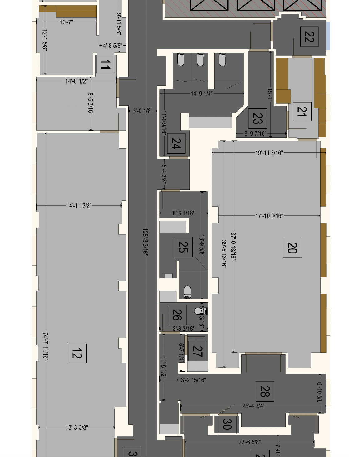
2D Floor Plans & Measured Drawings
Reliable drawings for layout verification and renovation planning.
Matterport Virtual Walkthroughs
Immersive views of the building for remote coordination and progress tracking.
Interactive 3D PDFs
Accessible visualizations for project teams and stakeholders.
GET A QUOTE
Get Accurate Existing Conditions for Your Project
Tell us about your project scope, timeline, and coordination needs, and we’ll provide a clear proposal tailored to your project.
Typical response within 1 business day